
荆山镇 topographic map
Interactive map
Click on the map to display elevation.
About this map
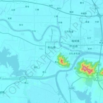
Name: 荆山镇 topographic map, elevation, terrain.
Location: 荆山镇, 怀远县, 蚌埠市, 安徽省, 中国 (32.91734 117.00602 33.00764 117.18089)
Average elevation: 26 m
Minimum elevation: 13 m
Maximum elevation: 328 m
Other topographic maps
Click on a map to view its topography, its elevation and its terrain.