
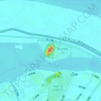
焦山 topographic map
Interactive map
Click on the map to display elevation.
About this map
Name: 焦山 topographic map, elevation, terrain.
Location: 焦山, 镇江市, 江苏省, 212001, 中国 (32.24031 119.47881 32.24041 119.47891)
Average elevation: 5 m
Minimum elevation: 0 m
Maximum elevation: 58 m
Other topographic maps
Click on a map to view its topography, its elevation and its terrain.