
Saint Joseph topographic map
Click on the map to display elevation.
About this map
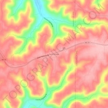
Name: Saint Joseph topographic map, elevation, terrain.
Average elevation: 355 m
Minimum elevation: 244 m
Maximum elevation: 408 m
Other topographic maps
Click on a map to view its topography, its elevation and its terrain.
Village of West Salem
United States > Wisconsin > La Crosse County > West Salem
Average elevation: 226 m