
Bangor topographic map
Click on the map to display elevation.
About this map
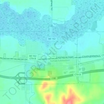
Name: Bangor topographic map, elevation, terrain.
Location: Bangor, La Crosse County, Wisconsin, United States (43.88439 -91.01056 43.90250 -90.97064)
Average elevation: 230 m
Minimum elevation: 213 m
Maximum elevation: 297 m
Other topographic maps
Click on a map to view its topography, its elevation and its terrain.
Village of West Salem
United States > Wisconsin > La Crosse County > West Salem
Average elevation: 226 m