
沩山乡 topographic map
Interactive map
Click on the map to display elevation.
About this map
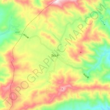
Name: 沩山乡 topographic map, elevation, terrain.
Location: 沩山乡, 宁乡市, 长沙市, 湖南省, 中国 (28.13691 111.92346 28.21691 112.00346)
Average elevation: 524 m
Minimum elevation: 196 m
Maximum elevation: 882 m
Other topographic maps
Click on a map to view its topography, its elevation and its terrain.