
郎家村 topographic map
Interactive map
Click on the map to display elevation.
About this map
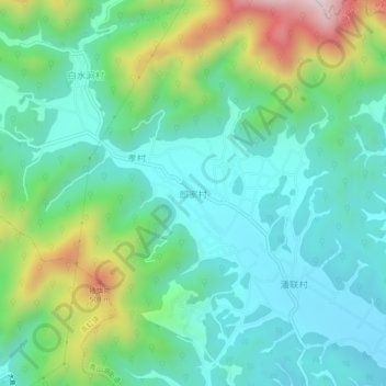
Name: 郎家村 topographic map, elevation, terrain.
Location: 郎家村, 杭州市, 浙江省, 311116, 中国 (30.33969 119.71746 30.37969 119.75746)
Average elevation: 199 m
Minimum elevation: 44 m
Maximum elevation: 626 m
Other topographic maps
Click on a map to view its topography, its elevation and its terrain.