
状元峰 topographic map
Interactive map
Click on the map to display elevation.
About this map
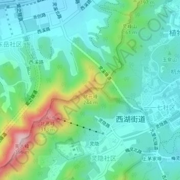
Name: 状元峰 topographic map, elevation, terrain.
Location: 状元峰, 杭州市, 浙江省, 310013, 中国 (30.25195 120.09948 30.25205 120.09958)
Average elevation: 84 m
Minimum elevation: 5 m
Maximum elevation: 321 m
Other topographic maps
Click on a map to view its topography, its elevation and its terrain.