
北社乡 topographic map
Interactive map
Click on the map to display elevation.
About this map
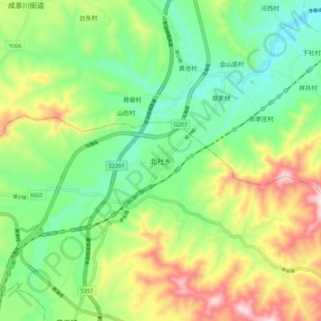
Name: 北社乡 topographic map, elevation, terrain.
Location: 北社乡, 长治市, 山西省, 中国 (36.21270 113.26000 36.29270 113.34000)
Average elevation: 992 m
Minimum elevation: 799 m
Maximum elevation: 1,330 m
Other topographic maps
Click on a map to view its topography, its elevation and its terrain.