
泸桥村 topographic map
Interactive map
Click on the map to display elevation.
About this map
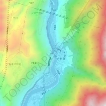
Name: 泸桥村 topographic map, elevation, terrain.
Location: 泸桥村, 泸定县, 甘孜藏族自治州, 四川省, 中国 (29.89590 102.20905 29.93590 102.24905)
Average elevation: 1,788 m
Minimum elevation: 1,291 m
Maximum elevation: 2,617 m
Other topographic maps
Click on a map to view its topography, its elevation and its terrain.