
得妥镇 topographic map
Interactive map
Click on the map to display elevation.
About this map
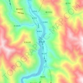
Name: 得妥镇 topographic map, elevation, terrain.
Location: 得妥镇, 泸定县, 甘孜藏族自治州, 四川省, 中国 (29.54709 102.13727 29.62709 102.21727)
Average elevation: 1,791 m
Minimum elevation: 1,062 m
Maximum elevation: 2,762 m
Other topographic maps
Click on a map to view its topography, its elevation and its terrain.