
Thank you for supporting this site ❤️
Make a donation
Make a donation
Cedarville topographic map
Click on the map to display elevation.
Thank you for supporting this site ❤️
Make a donation
Make a donation
About this map
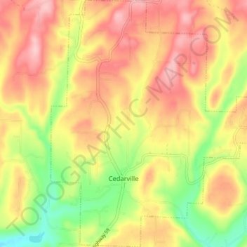
Name: Cedarville topographic map, elevation, terrain.
Location: Cedarville, Crawford County, Arkansas, 72932, United States (35.55363 -94.38809 35.61191 -94.32006)
Average elevation: 279 m
Minimum elevation: 189 m
Maximum elevation: 350 m
Thank you for supporting this site ❤️
Make a donation
Make a donation
Other topographic maps
Click on a map to view its topography, its elevation and its terrain.
Thank you for supporting this site ❤️
Make a donation
Make a donation
Thank you for supporting this site ❤️
Make a donation
Make a donation