
Thank you for supporting this site ❤️
Make a donation
Make a donation
Artist Point topographic map
Click on the map to display elevation.
Thank you for supporting this site ❤️
Make a donation
Make a donation
About this map
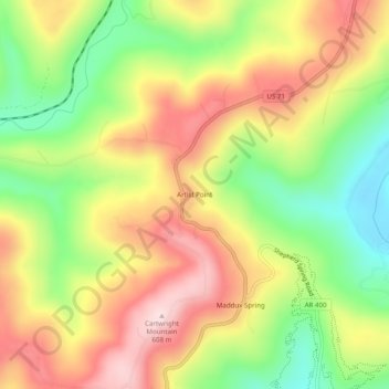
Name: Artist Point topographic map, elevation, terrain.
Location: Artist Point, Crawford County, Arkansas, United States (35.69980 -94.15743 35.73980 -94.11743)
Average elevation: 447 m
Minimum elevation: 278 m
Maximum elevation: 613 m
Thank you for supporting this site ❤️
Make a donation
Make a donation
Other topographic maps
Click on a map to view its topography, its elevation and its terrain.
Thank you for supporting this site ❤️
Make a donation
Make a donation
Thank you for supporting this site ❤️
Make a donation
Make a donation