
镇江关镇 topographic map
Interactive map
Click on the map to display elevation.
About this map
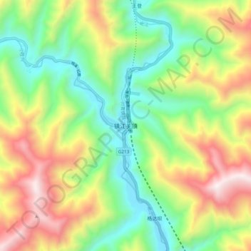
Name: 镇江关镇 topographic map, elevation, terrain.
Location: 镇江关镇, 松潘县, 阿坝藏族羌族自治州, 四川省, 中国 (32.28313 103.67992 32.36313 103.75992)
Average elevation: 3,020 m
Minimum elevation: 2,451 m
Maximum elevation: 3,886 m
Other topographic maps
Click on a map to view its topography, its elevation and its terrain.