
白望山 topographic map
Interactive map
Click on the map to display elevation.
About this map
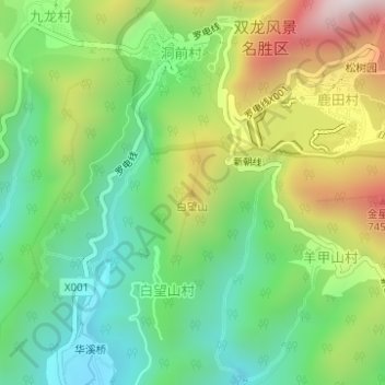
Name: 白望山 topographic map, elevation, terrain.
Location: 白望山, 金华市, 浙江省, 中国 (29.19573 119.61996 29.19583 119.62006)
Average elevation: 420 m
Minimum elevation: 145 m
Maximum elevation: 875 m
Other topographic maps
Click on a map to view its topography, its elevation and its terrain.