
骆驼井子 topographic map
Interactive map
Click on the map to display elevation.
About this map
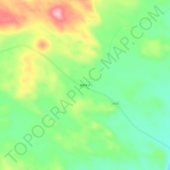
Name: 骆驼井子 topographic map, elevation, terrain.
Location: 骆驼井子, 蔡木山乡, 多伦县, 锡林郭勒盟, 内蒙古自治区, 中国 (42.37247 116.81557 42.41247 116.85557)
Average elevation: 1,392 m
Minimum elevation: 1,325 m
Maximum elevation: 1,497 m
Other topographic maps
Click on a map to view its topography, its elevation and its terrain.