
八里河 topographic map
Interactive map
Click on the map to display elevation.
About this map
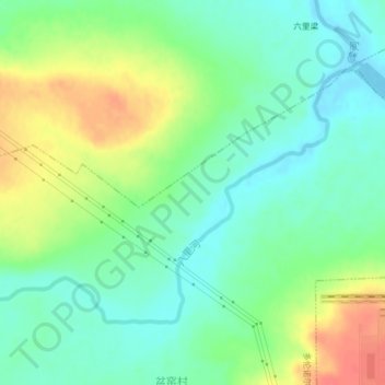
Name: 八里河 topographic map, elevation, terrain.
Location: 八里河, 多伦诺尔镇, 多伦县, 锡林郭勒盟, 内蒙古自治区, 中国 (42.21703 116.52588 42.23658 116.56510)
Average elevation: 1,238 m
Minimum elevation: 1,216 m
Maximum elevation: 1,275 m
Other topographic maps
Click on a map to view its topography, its elevation and its terrain.