
Thank you for supporting this site ❤️
Make a donation
Make a donation
Randlett topographic map
Click on the map to display elevation.
Thank you for supporting this site ❤️
Make a donation
Make a donation
About this map
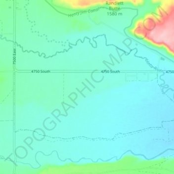
Name: Randlett topographic map, elevation, terrain.
Location: Randlett, Uintah County, Utah, 84063, United States (40.21306 -109.85943 40.24376 -109.79297)
Average elevation: 1,485 m
Minimum elevation: 1,457 m
Maximum elevation: 1,619 m
Thank you for supporting this site ❤️
Make a donation
Make a donation
Other topographic maps
Click on a map to view its topography, its elevation and its terrain.