
Thank you for supporting this site ❤️
Make a donation
Make a donation
Uinta River topographic map
Click on the map to display elevation.
Thank you for supporting this site ❤️
Make a donation
Make a donation
About this map
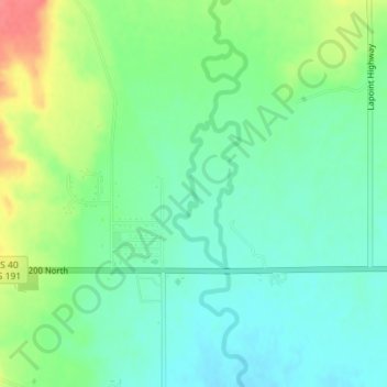
Name: Uinta River topographic map, elevation, terrain.
Location: Uinta River, Uintah County, Utah, 84026, United States (40.30204 -109.85822 40.31240 -109.85349)
Average elevation: 1,545 m
Minimum elevation: 1,523 m
Maximum elevation: 1,588 m
Thank you for supporting this site ❤️
Make a donation
Make a donation
Other topographic maps
Click on a map to view its topography, its elevation and its terrain.