
Jingzhou topographic map
Interactive map
Click on the map to display elevation.
About this map
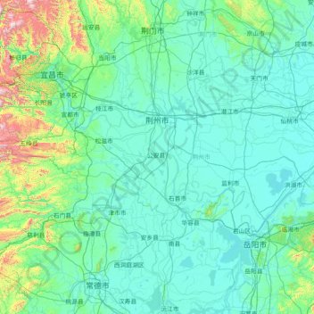
Name: Jingzhou topographic map, elevation, terrain.
Location: Jingzhou, Hubei, 434000, China (29.41822 111.23863 30.66080 114.08449)
Average elevation: 156 m
Minimum elevation: 17 m
Maximum elevation: 1,901 m
Other topographic maps
Click on a map to view its topography, its elevation and its terrain.