
公安县 topographic map
Interactive map
Click on the map to display elevation.
About this map
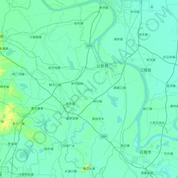
Name: 公安县 topographic map, elevation, terrain.
Location: 公安县, Jingzhou, Hubei, 434300, China (29.62006 111.80451 30.31577 112.42395)
Average elevation: 36 m
Minimum elevation: 20 m
Maximum elevation: 245 m