

Algeria topographic maps
Click on a map to view its topography, its elevation and its terrain.
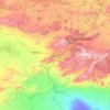
Batna
The origins of the name of the city and province of Batna are not clear, but most historians agree that it is of Arabic origin: m'batna, meaning: "Where we sleep this night". Capital of the highlands situated between the Tell Atlas in the north and the Saharan Atlas in the south, with the Chott el Hodna in the…
Average elevation: 720 m
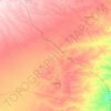
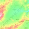
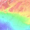
Beni Brahim
Algeria > Setif > Beni Ouartilane District > Ain Lagradj > Beni Brahim
Average elevation: 1,020 m