
South Fork Reservoir topographic map
Interactive map
Click on the map to display elevation.
About this map
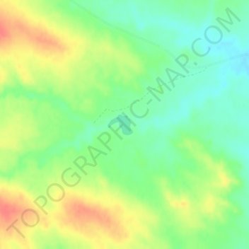
Name: South Fork Reservoir topographic map, elevation, terrain.
Average elevation: 851 m
Minimum elevation: 827 m
Maximum elevation: 881 m
Other topographic maps
Click on a map to view its topography, its elevation and its terrain.
Terry
United States > Montana > Prairie County
Terry, Prairie County, Montana, 59349, United States
Average elevation: 684 m