
Terry topographic map
Interactive map
Click on the map to display elevation.
About this map
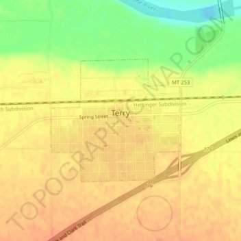
Name: Terry topographic map, elevation, terrain.
Location: Terry, Prairie County, Montana, 59349, United States (46.78535 -105.32361 46.79906 -105.30232)
Average elevation: 684 m
Minimum elevation: 656 m
Maximum elevation: 696 m
Other topographic maps
Click on a map to view its topography, its elevation and its terrain.
South Fork Reservoir
United States > Montana > Prairie County
South Fork Reservoir, Prairie County, Montana, United States
Average elevation: 851 m