
宗营镇 topographic map
Interactive map
Click on the map to display elevation.
About this map
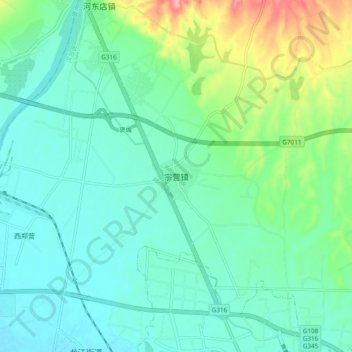
Name: 宗营镇 topographic map, elevation, terrain.
Location: 宗营镇, 汉台区, 汉中市, 陕西省, 中国 (33.12144 106.94398 33.20144 107.02398)
Average elevation: 549 m
Minimum elevation: 517 m
Maximum elevation: 654 m
Other topographic maps
Click on a map to view its topography, its elevation and its terrain.