
Thank you for supporting this site ❤️
Make a donation
Make a donation
Speake topographic map
Click on the map to display elevation.
Thank you for supporting this site ❤️
Make a donation
Make a donation
About this map
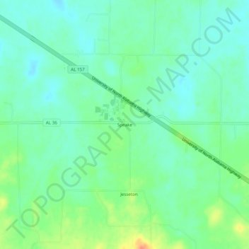
Name: Speake topographic map, elevation, terrain.
Location: Speake, Lawrence County, Alabama, United States (34.39593 -87.18752 34.43593 -87.14752)
Average elevation: 197 m
Minimum elevation: 183 m
Maximum elevation: 228 m
Thank you for supporting this site ❤️
Make a donation
Make a donation
Other topographic maps
Click on a map to view its topography, its elevation and its terrain.