
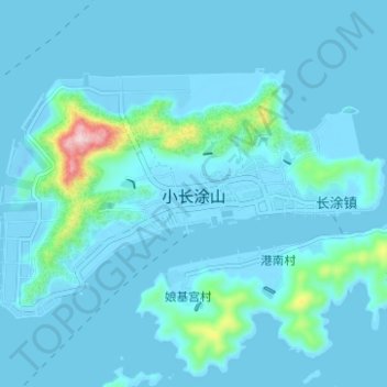
小长涂山 topographic map
Interactive map
Click on the map to display elevation.
About this map
Name: 小长涂山 topographic map, elevation, terrain.
Location: 小长涂山, 岱山县, 舟山市, 浙江省, 中国 (30.23769 122.25046 30.27231 122.31275)
Average elevation: 22 m
Minimum elevation: -19 m
Maximum elevation: 284 m
Other topographic maps
Click on a map to view its topography, its elevation and its terrain.