
秀山岛 topographic map
Interactive map
Click on the map to display elevation.
About this map
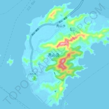
Name: 秀山岛 topographic map, elevation, terrain.
Location: 秀山岛, 岱山县, 舟山市, 浙江省, 316261, 中国 (30.14041 122.13981 30.20193 122.21371)
Average elevation: 14 m
Minimum elevation: -4 m
Maximum elevation: 184 m
Other topographic maps
Click on a map to view its topography, its elevation and its terrain.