
乌梁素海渔场 topographic map
Interactive map
Click on the map to display elevation.
About this map
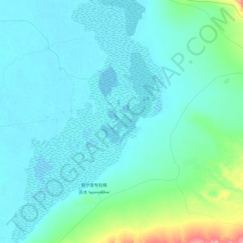
Name: 乌梁素海渔场 topographic map, elevation, terrain.
Location: 乌梁素海渔场, 乌拉特前旗, 巴彦淖尔市, 内蒙古自治区, 014400, 中国 (40.77984 108.68923 41.10151 108.96050)
Average elevation: 1,040 m
Minimum elevation: 1,018 m
Maximum elevation: 1,230 m
Other topographic maps
Click on a map to view its topography, its elevation and its terrain.