
白玉乡 topographic map
Interactive map
Click on the map to display elevation.
About this map
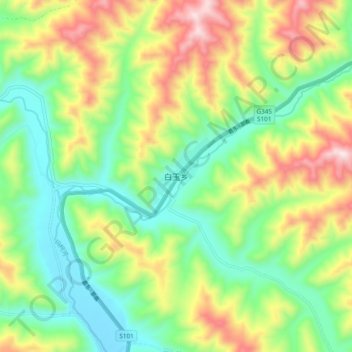
Name: 白玉乡 topographic map, elevation, terrain.
Location: 白玉乡, 久治县, 果洛藏族自治州, 青海省, 中国 (33.23172 100.61608 33.31172 100.69608)
Average elevation: 3,957 m
Minimum elevation: 3,711 m
Maximum elevation: 4,369 m
Other topographic maps
Click on a map to view its topography, its elevation and its terrain.