
索乎日麻乡 topographic map
Interactive map
Click on the map to display elevation.
About this map
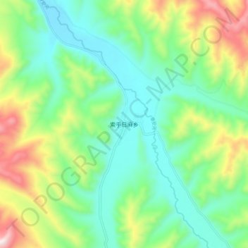
Name: 索乎日麻乡 topographic map, elevation, terrain.
Location: 索乎日麻乡, 久治县, 果洛藏族自治州, 青海省, 中国 (33.49166 100.89388 33.57166 100.97388)
Average elevation: 4,029 m
Minimum elevation: 3,798 m
Maximum elevation: 4,546 m
Other topographic maps
Click on a map to view its topography, its elevation and its terrain.