
陵水黎族自治县 topographic map
Interactive map
Click on the map to display elevation.
About this map
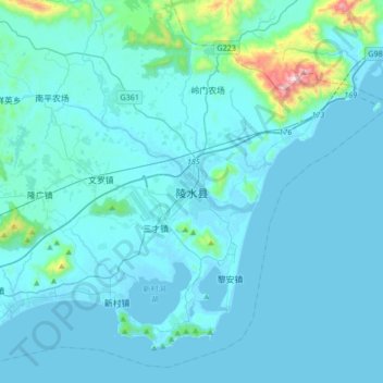
Name: 陵水黎族自治县 topographic map, elevation, terrain.
Location: 陵水黎族自治县, 海南省, 中国 (18.34710 109.87313 18.66710 110.19313)
Average elevation: 62 m
Minimum elevation: -2 m
Maximum elevation: 922 m
Other topographic maps
Click on a map to view its topography, its elevation and its terrain.