
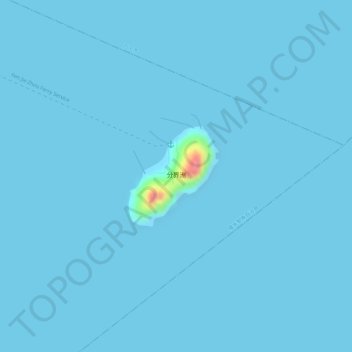
分界洲 topographic map
Interactive map
Click on the map to display elevation.
About this map
Name: 分界洲 topographic map, elevation, terrain.
Location: 分界洲, 陵水黎族自治县, 海南省, 中国 (18.57437 110.19278 18.58211 110.20012)
Average elevation: 1 m
Minimum elevation: 0 m
Maximum elevation: 86 m
Other topographic maps
Click on a map to view its topography, its elevation and its terrain.