
金家村 topographic map
Interactive map
Click on the map to display elevation.
About this map
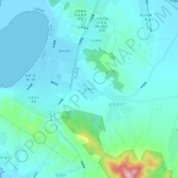
Name: 金家村 topographic map, elevation, terrain.
Location: 金家村, 旅顺口区, 大连市, 辽宁省, 中国 (38.75871 121.13543 38.79871 121.17543)
Average elevation: 40 m
Minimum elevation: -1 m
Maximum elevation: 265 m
Other topographic maps
Click on a map to view its topography, its elevation and its terrain.