
冢头镇 topographic map
Interactive map
Click on the map to display elevation.
About this map
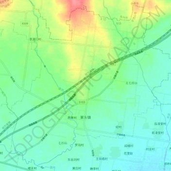
Name: 冢头镇 topographic map, elevation, terrain.
Location: 冢头镇, 郏县, 平顶山市, 河南省, 中国 (33.96239 113.29894 34.04633 113.40700)
Average elevation: 110 m
Minimum elevation: 89 m
Maximum elevation: 161 m
Other topographic maps
Click on a map to view its topography, its elevation and its terrain.