
渣元乡 topographic map
Interactive map
Click on the map to display elevation.
About this map
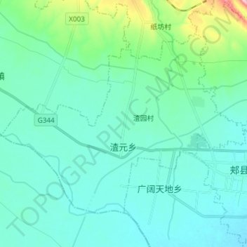
Name: 渣元乡 topographic map, elevation, terrain.
Location: 渣元乡, 郏县, 平顶山市, 河南省, 中国 (33.95712 113.08848 34.03058 113.21049)
Average elevation: 141 m
Minimum elevation: 107 m
Maximum elevation: 326 m
Other topographic maps
Click on a map to view its topography, its elevation and its terrain.