
官塘市村 topographic map
Interactive map
Click on the map to display elevation.
About this map
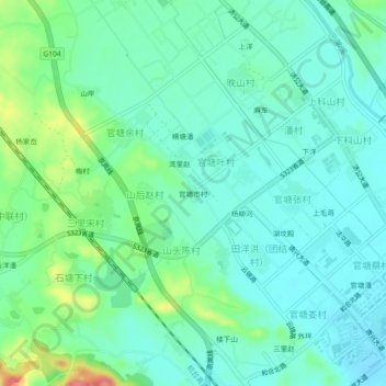
Name: 官塘市村 topographic map, elevation, terrain.
Location: 官塘市村, 天台县, 台州市, 花前产业园区, 浙江省, 317200, 中国 (29.14607 120.94720 29.18607 120.98720)
Average elevation: 76 m
Minimum elevation: 55 m
Maximum elevation: 140 m
Other topographic maps
Click on a map to view its topography, its elevation and its terrain.