
文钟村 topographic map
Interactive map
Click on the map to display elevation.
About this map
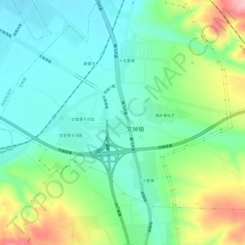
Name: 文钟村 topographic map, elevation, terrain.
Location: 文钟村, 红山区, 赤峰市, 内蒙古自治区, 中国 (42.19265 118.91200 42.23265 118.95200)
Average elevation: 632 m
Minimum elevation: 581 m
Maximum elevation: 748 m
Other topographic maps
Click on a map to view its topography, its elevation and its terrain.