
红山区农畜产品加工产业园区 topographic map
Interactive map
Click on the map to display elevation.
About this map
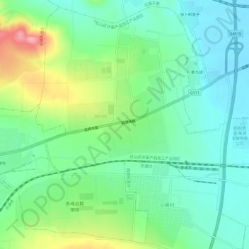
Name: 红山区农畜产品加工产业园区 topographic map, elevation, terrain.
Location: 红山区农畜产品加工产业园区, 红山区, 赤峰市, 内蒙古自治区, 中国 (42.27099 119.00271 42.30970 119.05761)
Average elevation: 572 m
Minimum elevation: 534 m
Maximum elevation: 660 m
Other topographic maps
Click on a map to view its topography, its elevation and its terrain.