
跃进湖 topographic map
Interactive map
Click on the map to display elevation.
About this map
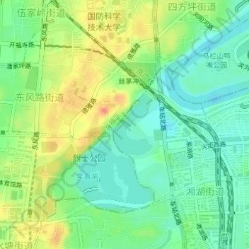
Name: 跃进湖 topographic map, elevation, terrain.
Location: 跃进湖, 东风路街道, 湘湖街道, 芙蓉区, 开福区, 长沙市, 湖南省, 中国 (28.21441 112.99592 28.22109 113.00087)
Average elevation: 43 m
Minimum elevation: 24 m
Maximum elevation: 71 m
Other topographic maps
Click on a map to view its topography, its elevation and its terrain.