
东屯渡街道 topographic map
Interactive map
Click on the map to display elevation.
About this map
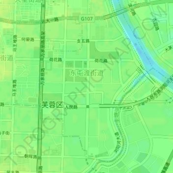
Name: 东屯渡街道 topographic map, elevation, terrain.
Location: 东屯渡街道, 芙蓉区, 长沙市, 湖南省, 中国 (28.17880 113.02459 28.20222 113.04458)
Average elevation: 34 m
Minimum elevation: 25 m
Maximum elevation: 39 m
Other topographic maps
Click on a map to view its topography, its elevation and its terrain.