
河图公园 topographic map
Interactive map
Click on the map to display elevation.
About this map
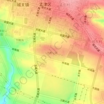
Name: 河图公园 topographic map, elevation, terrain.
Location: 河图公园, 城关镇, 孟津区, 洛阳市, 孟津区, 河南省, 中国 (34.81207 112.43532 34.81695 112.44572)
Average elevation: 315 m
Minimum elevation: 251 m
Maximum elevation: 350 m
Other topographic maps
Click on a map to view its topography, its elevation and its terrain.