
Mount Augustus topographic map
Interactive map
Click on the map to display elevation.
About this map
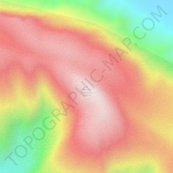
Name: Mount Augustus topographic map, elevation, terrain.
Location: Mount Augustus, Shire Of Upper Gascoyne, 西澳大利亚州, 澳大利亚 (-24.32540 116.84211 -24.32530 116.84221)
Average elevation: 827 m
Minimum elevation: 406 m
Maximum elevation: 1,071 m
Other topographic maps
Click on a map to view its topography, its elevation and its terrain.
Wongan Hills
澳大利亚 > 西澳大利亚州 > Wongan Hills
Wongan Hills, Shire Of Wongan-ballidu, 西澳大利亚州, 6603, 澳大利亚
Average elevation: 295 m
Bonnie Rock
澳大利亚 > 西澳大利亚州 > Bonnie Rock
Bonnie Rock, Shire Of Mukinbudin, 西澳大利亚州, 澳大利亚
Average elevation: 429 m