
虎丘街道 topographic map
Interactive map
Click on the map to display elevation.
About this map
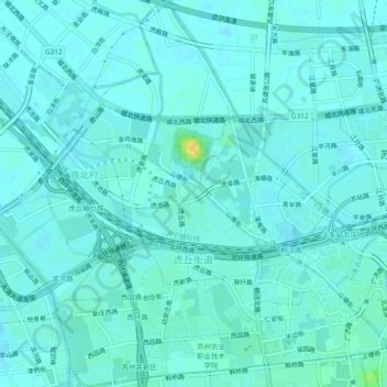
Name: 虎丘街道 topographic map, elevation, terrain.
Location: 虎丘街道, 姑苏区, 苏州市, 江苏省, 中国 (31.31316 120.55911 31.35285 120.60590)
Average elevation: 5 m
Minimum elevation: 1 m
Maximum elevation: 25 m
Other topographic maps
Click on a map to view its topography, its elevation and its terrain.