
大公园社区 topographic map
Interactive map
Click on the map to display elevation.
About this map
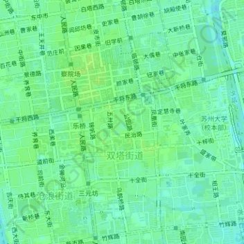
Name: 大公园社区 topographic map, elevation, terrain.
Location: 大公园社区, 双塔街道, 姑苏区, 苏州市, 江苏省, 中国, 苏州公园 (31.30562 120.62242 31.30863 120.62486)
Average elevation: 8 m
Minimum elevation: 2 m
Maximum elevation: 12 m
Other topographic maps
Click on a map to view its topography, its elevation and its terrain.