
تجكجة topographic map
Interactive map
Click on the map to display elevation.
About this map
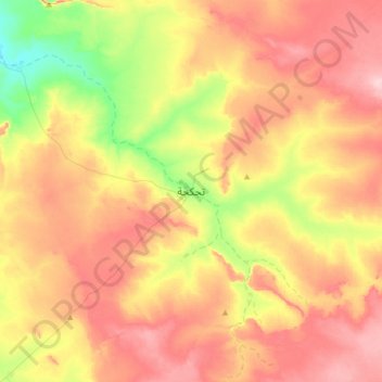
Name: تجكجة topographic map, elevation, terrain.
Location: تجكجة, Tagant, Mauritania (18.39452 -11.59258 18.71452 -11.27258)
Average elevation: 438 m
Minimum elevation: 348 m
Maximum elevation: 516 m
Other topographic maps
Click on a map to view its topography, its elevation and its terrain.