
Guelb Azrag topographic map
Interactive map
Click on the map to display elevation.
About this map
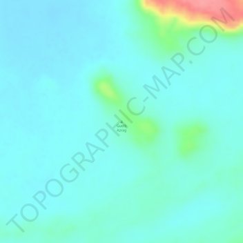
Name: Guelb Azrag topographic map, elevation, terrain.
Location: Guelb Azrag, Tagant, Mauritania (18.25285 -8.77975 18.25295 -8.77965)
Average elevation: 206 m
Minimum elevation: 189 m
Maximum elevation: 282 m
Other topographic maps
Click on a map to view its topography, its elevation and its terrain.