
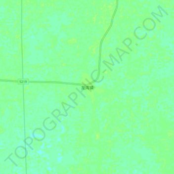
龙湾镇 topographic map
Interactive map
Click on the map to display elevation.
About this map
Name: 龙湾镇 topographic map, elevation, terrain.
Location: 龙湾镇, 潜江市, 湖北省, 中国 (30.19319 112.66591 30.27319 112.74591)
Average elevation: 28 m
Minimum elevation: 23 m
Maximum elevation: 31 m
Other topographic maps
Click on a map to view its topography, its elevation and its terrain.