
Thank you for supporting this site ❤️
Make a donation
Make a donation
Cunha topographic map
Click on the map to display elevation.
Thank you for supporting this site ❤️
Make a donation
Make a donation
About this map
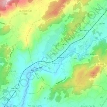
Name: Cunha topographic map, elevation, terrain.
Location: Cunha, Braga, 4700-500, Portugal (41.47064 -8.53240 41.51064 -8.49240)
Average elevation: 164 m
Minimum elevation: 81 m
Maximum elevation: 330 m
Thank you for supporting this site ❤️
Make a donation
Make a donation
Other topographic maps
Click on a map to view its topography, its elevation and its terrain.