
Canora topographic map
Click on the map to display elevation.
About this map
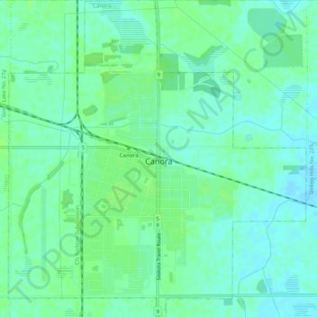
Name: Canora topographic map, elevation, terrain.
Location: Canora, Saskatchewan, S0A 0L0, Canada (51.62075 -102.45472 51.65200 -102.40737)
Average elevation: 488 m
Minimum elevation: 483 m
Maximum elevation: 491 m
Other topographic maps
Click on a map to view its topography, its elevation and its terrain.
McClean Lake
Canada > Saskatchewan > Division No. 18 > Unorganized Division No. 18
Average elevation: 440 m
La Loche
Canada > Saskatchewan > Northern Saskatchewan Administration District > La Loche
Average elevation: 447 m
Pelican Narrows
Canada > Saskatchewan > Northern Saskatchewan Administration District > Pelican Narrows
Average elevation: 321 m