
长岭县 topographic map
Interactive map
Click on the map to display elevation.
About this map
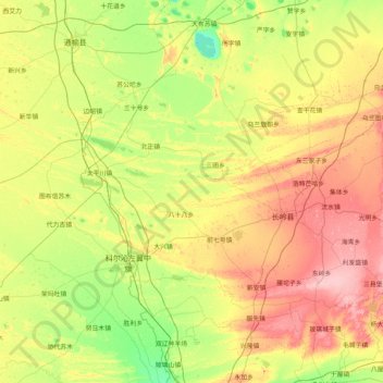
Name: 长岭县 topographic map, elevation, terrain.
Location: 长岭县, 松原市, 吉林省, 中国 (43.98287 123.10843 44.70581 124.75656)
Average elevation: 161 m
Minimum elevation: 120 m
Maximum elevation: 236 m
Other topographic maps
Click on a map to view its topography, its elevation and its terrain.